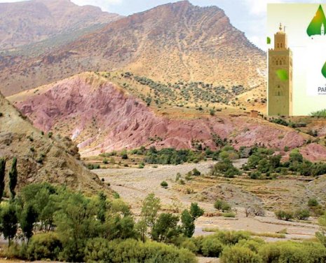
The Faculty of Letters of the Mohammed I University of Oujda, in collaboration with the National Centre for Scientific and Technical Research, the University Commission for Development (Belgium) and the Moroccan Association of Geomorphology, is organising at the Nidae Essalam hall, from 6 to 8 March, an international symposium on the theme of geomatics and natural risk management.
A symposium that will bring together a hundred researchers from Belgium, Romania, Algeria and several Moroccan universities and which aims to explain the processes that are at the origin of the observed natural or industrial risks, to analyse the factors that govern them, to map the potential risks that result from them and to propose prevention and protection measures, explain the organisers. Also to contribute to the development of the methods adopted and the possibilities of using geomatics for each type of risk.
To this end, the communications that will be presented throughout these three days will be articulated around seven themes: hydrological and climatic risks, coastal risks (erosion and sedimentation), seismic and volcanic risks, soil erosion and slope movement risks, pollution, forest fires and industrial risks, methodological aspects of modelling and the contribution of geomatics as well as rehabilitation and prevention strategies. All of these themes will be debated in three workshops and twelve sessions in addition to a plenary meeting. Geomatics is a science that facilitates the choice and practices of land use planning. It contributes, in fact, to the control of natural and environmental risks that are increasingly recurrent in many regions of the world. This is what the argument for this meeting explains. In short, it is an approach that encourages more to highlight the concept of "environmental security" to better develop the issues and the means of action, prevention and territorial management. It should be specified furthermore, explain the organisers, that several countries confronted with this phenomenon have reinforced prevention actions and put in place instruments intended to protect populations. Also to resist natural disasters and related industrial and environmental disasters. A method that will reduce the environmental, human and social losses linked to these disasters. This is what the researchers at the Mohammed I University hope to achieve.
This awareness can only succeed if it is shared by the various actors of risk management. The only way to react effectively to disasters and assist the populations concerned.
By: Ali Kharroubi
DNCR in Oujda
News 08 Mar 2012 2 min read
Geomatics and natural risk management under debate
Geomatics is a science that facilitates the choice and practices of land-use planning.